Geoscience Investigations of Point Clouds
Date:
Wednesday, June 7, 2017 - 09:00 to Friday, June 9, 2017 - 17:00
Location:
University of Potsdam - Golm
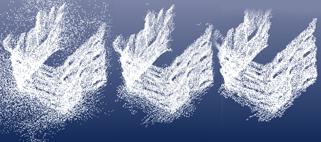
Photo from PhotoModeler
This course will explore the acquisition, post-processing, and classification of point clouds derived from airborne and terrestrial lidar scanners and structure from motion (SfM) photogrammetry from drones. The course will take place at campus Golm (UP) and includes one day of field-data collection and two days of data post-processing and analysis.
The course is sponsored by Geo.X and co-sponsored by "StRATREGy".
For registration please use the following form:
https://goo.gl/forms/NrRAcaASXPuseRs62
In the flyer below you will find more information on the course.